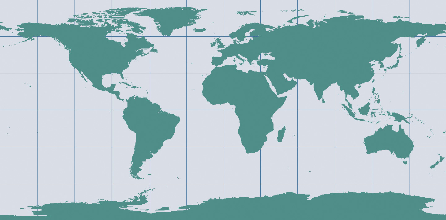
Projections by distortion property
Introduction
How the Earth's surface is projected onto the plane, cone or cylinder determines which kind of distortion properties the map will have compared to the original curved reference surface.
The distortion properties of map are typically classified according to what is not distorted on the map:
-
In a conformal map projection (orthomorphic) the angles between lines in the map are indentical to the angles between the original lines on the curved reference surface. This means that angles (with short sides) and shapes (of small areas) are shown correctly on the map.
-
In an equal-area (equivalent) map projection the areas in the map are identical to the areas on the curved reference surface (taking into account the map scale), which means that areas are represented correctly on the map.
-
In an equidistant map projection the length of particular lines in the map are the same as the length of the original lines on the curved reference surface (taking into account the map scale).
A particular map projection can have any one of these three properties. No map projection can be both conformal and equal-area. A projection can only be equidistant (true to scale) at certain places or in certain directions.
Explanation
Conformal Map Projection
A Conformal Map Projection is when the angles between lines in the map are identical to the angles between the original lines on the curved reference surface. This means that angles (with short sides) and shapes (of small areas) are shown correctly on the map.
Conformal map projections represent angles correctly, but as the region becomes larger they show considerable area distortions. Maps used for the measurement of angles often make use of a conformal map projection.
Equal-Area Map Projection
Equal-Area Map Projections are when the areas in the map are identical to the areas on the curved reference surface (taking into account the map scale), which means that areas are represented correctly on the map.
Equal-area projections, on the other hand, represent areas correctly, but as the region becomes larger, considerable distortions of angles and, consequently, shapes occur. Maps that are to be used for measuring area are often made using an equal-area map projection.
Equidistant Map Projection
An Equidistant map projection is when the length of particular lines in the map are the same as the length of the original lines on the curved reference surface (taking into account the map scale).
The equidistant property is achievable only to a limited degree. That is, true distances can be shown only from one or two points to any other point on the map, or in certain directions. If a map is true to scale along the meridians (i.e. no distortion in the North–South direction), we say that the map is equidistant along the meridians (e.g. an equidistant cylindrical projection). If a map is true to scale along all parallels we say the map is equidistant along the parallels (i.e. no distortion in the East–West direction). Maps for which the area and angle distortions need to be reasonably acceptable often make use of an equidistant map projection.
Examples
Maps used for the measurement of angles (e.g. aeronautical charts, topographic maps) often make use of a conformal map projection such as the Universal Transverse Mercator (UTM) projection.

Maps that are to be used for measuring area (e.g. distribution maps) are often made using an equal-area map projection.

Maps for which the area and angle distortions need to be reasonably acceptable (several thematic maps) often make use of an equidistant map projection.

Learning outcomes
-
7 - Coordinate systems and map projections
Explain the relevance of reference surfaces, coordinate systems, and coordi-nate transformations in mapping (level 1 and 2).
Prior knowledge
Outgoing relations
- Projections by distortion property is a kind of Projection classification