Coordinate system
Introduction
Different kind of coordinates are used to position objects in a two- or three-dimensional space.
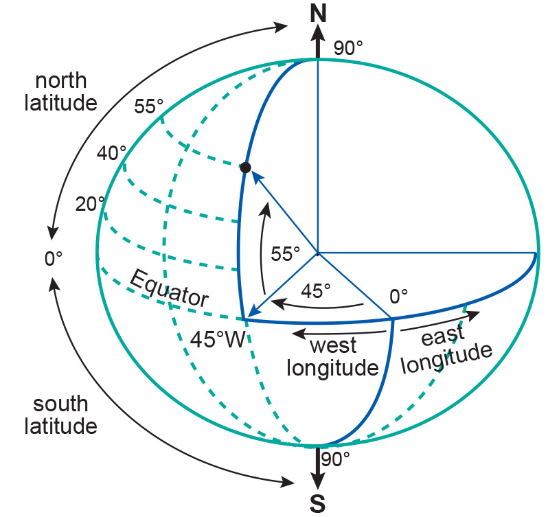
Spatial coordinates (also known as global coordinates) are used to locate objects either on the earth’s surface in a 3D space, or on the earth’s reference surface (ellipsoid or sphere) in a 2D space. Specific examples are the geographic coordinates in a 2D or 3D space and the geocentric coordinates, also known as 3D Cartesian coordinates.
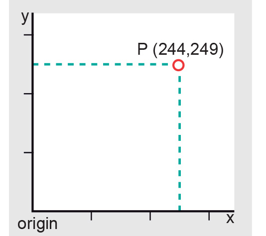
Planar coordinates on the other hand are used to locate objects on the flat surface of the map in a 2D space. Examples are the 2D Cartesian coordinates and the 2D polar coordinates.
Learning outcomes
-
7 - Coordinate systems and map projections
Explain the relevance of reference surfaces, coordinate systems, and coordi-nate transformations in mapping (level 1 and 2).
Outgoing relations
- Coordinate system is processed by Coordinate transformation
- Coordinate system is used by Georeferencing
- Coordinate system is used by Ground control points
Incoming relations
- Geographic coordinate system is a kind of Coordinate system
- Planar coordinate system is a kind of Coordinate system
- Terrestrial surveys is based on Coordinate system
- Spatial Reference System is related to Coordinate system