Final STI map
Final map
Explanation
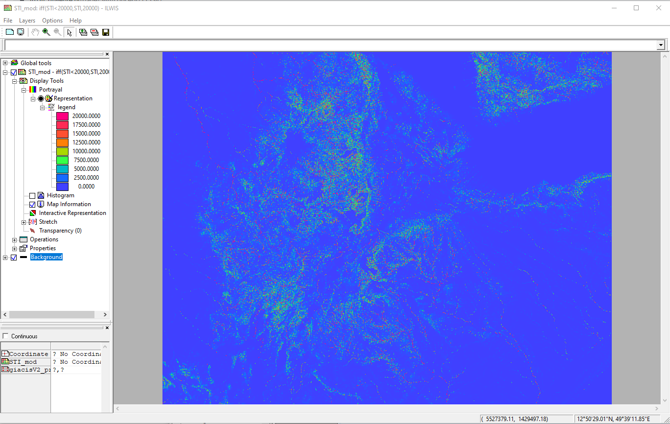
Display the map “STI_mod” and add the color shaded elevation model “colshadow” as a layer under “STI_mod”. For the STI_mod map use a transparency of 45 %, zoom in on the Ethiopian highlands and check the results. Note the remarkable differences between the (steep) valleys and the (flat) plateau’s
as well as the reddish toned stream network. If you also add layer “eth_inland_water”, your results should resemble those provided in the figure below. Note Lake Tana and the Simien Mountains, situated towards the north‐east of the lake
Examples
Incoming relations
- Cap STI Values output Final STI map