Terrestrial surveys
Introduction
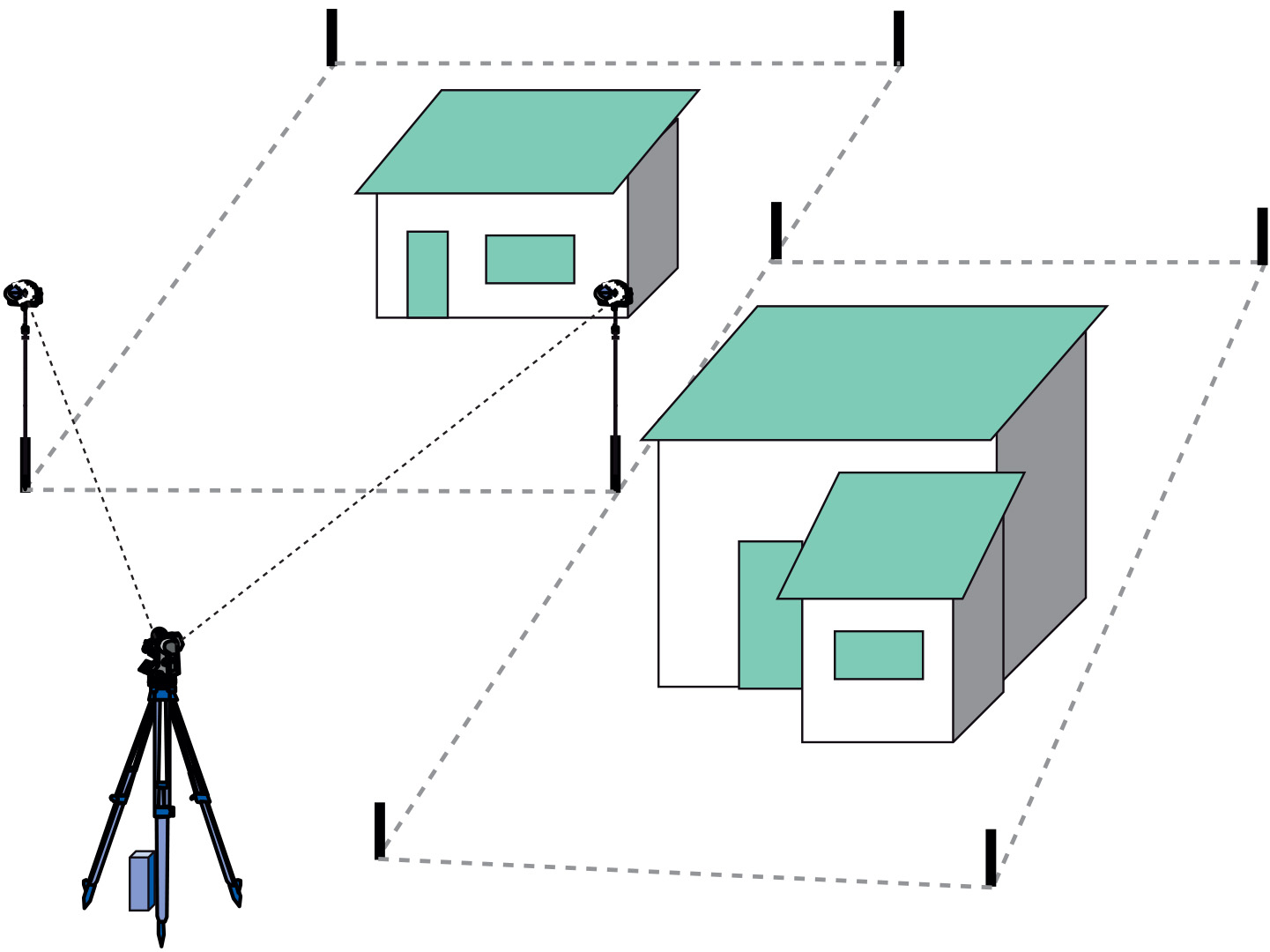
Terrestrial surveys are usually employed for details that must be measured accurately, e.g. survey control stations, property boundaries, buildings, and road construction works (Figure below). The surveyed data are often used to supplement and update existing data and for verification of data collected from aerial surveys and by satellite remote sensing. A terrestrial survey records features showing their relative position both horizontally and vertically. Several surveying techniques are employed to do this.

Learning outcomes
-
9 - Data entry: data input techniques
Describe and explain standard spatial (and non-spatial) data input techniques (non RS) including the management of the data collection process (level 1 and 2).
Prior knowledge
Outgoing relations
- Terrestrial surveys is a kind of Spatial data acquisition
- Terrestrial surveys is based on Coordinate system
Incoming relations
- Field survey is a kind of Terrestrial surveys
- Mobile GIS is a kind of Terrestrial surveys
- Horizontal positioning is used by Terrestrial surveys
- Vertical positioning is used by Terrestrial surveys