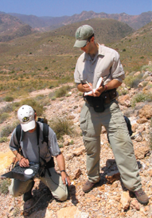
Field survey
Introduction
Field surveys of natural and water resources are frequently carried out to check and supplement information derived from the interpretation of aerial photographs and satellite imagery (Figure below). Often, sample areas are chosen within a study area for more detailed investigations. Socio-economic data, however, are often collected on the basis of administrative districts, with the result that their location is insufficiently precise to permit analysis of high quality.

Explanation
Every field science in natural resources, water resources, and urban and regional planning has a range of techniques for collecting data in the terrain. Full details of these techniques are given in various standard texts for the disciplines concerned.
Primary socio-economic data are collected by interviews and questionnaires. If the investigation is unofficial, the response will depend on the type of information required. In general, information of a financial or personal nature is difficult to come by and, even if given, may not be wholly reliable.
Fortunately a wealth of societal and economic data is available from official sources. Private individuals and commercial undertakings are usually required to provide government agencies with information via censuses, tax returns, etc. Since much of this data is confidential, it will usually be refined and generalized before it is released to others.
An example of a publicly available statistical data set is the International Data Base (IDB) provided by the US Census Bureau. It contains demographic and socio-economic statistics collected for 227 countries and areas of the world. The major types of data made available by the
Learning outcomes
-
9 - Data entry: data input techniques
Describe and explain standard spatial (and non-spatial) data input techniques (non RS) including the management of the data collection process (level 1 and 2).
Prior knowledge
Outgoing relations
- Field survey is a kind of Terrestrial surveys