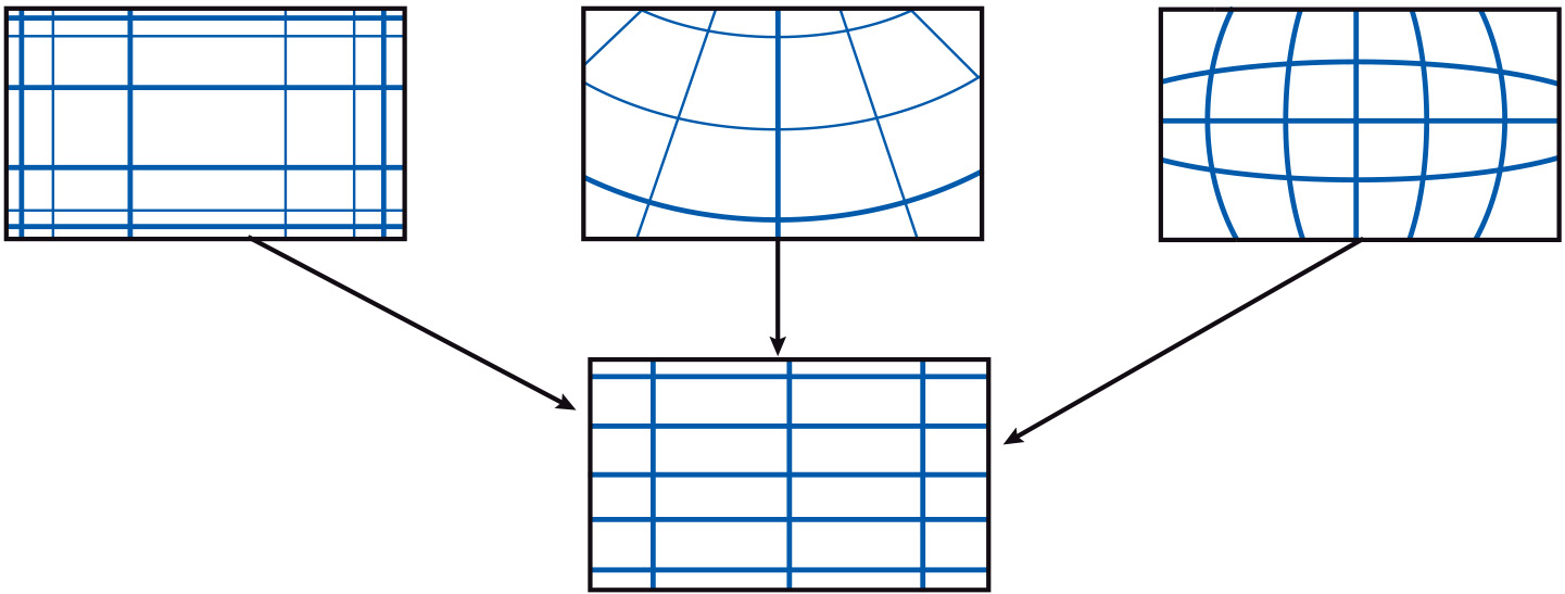
Differences in coordinate systems
Introduction
It may be the case that data layers that are to be combined or merged in some way are referenced in different coordinate systems, or are based upon different datums. As a result, data may need a coordinate transformation, or both a coordinate transformation and datum transformation. It may also be the case that data have been digitized from an existing map or data layer. In this case, geometric transformations help to transform device coordinates (coordinates from digitizing tablets or screen coordinates) into world coordinates (geographic coordinates, metres, etc.).

Learning outcomes
-
14 - Data quality: data handling
Identify the impact of Geo-information handling on data quality (level 1).
Prior knowledge
Outgoing relations
- Differences in coordinate systems is part of Combining data from multiple sources