Aerial survey
Introduction
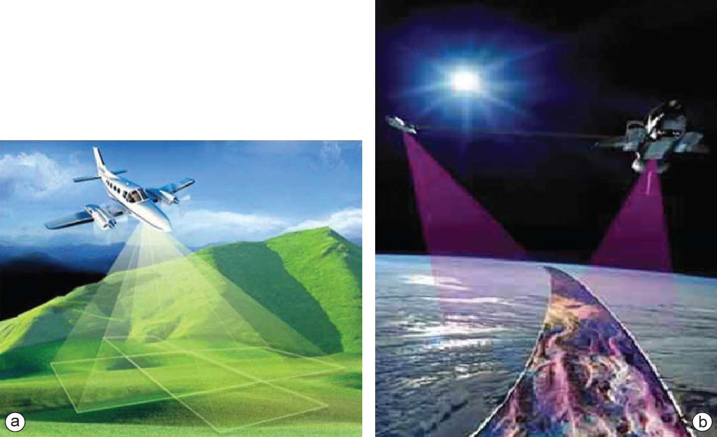
Aerial photographs are a major source of digital data; soft-copy workstations are used to digitize features directly from stereo pairs of digital photographs. These systems allow data to be captured in two or three dimensions, with elevations measured directly from a stereo pair using the principles of photogrammetry. Analogue aerial photos are often scanned before being entered into a soft-copy system, but with the advance of high-quality digital cameras this step can now be skipped.
In general, the alignment of roads and railways, lakes and water, and shapes of buildings are easily interpreted on aerial photographs - assuming that the scale of the photographs is not too small. Also, constructions such as dikes, bridges, air fields and the main types of vegetation and cultivation are mostly clearly visible. Nevertheless, numerous attribute data related to terrain features cannot be interpreted on aerial photographs: e.g. the administrative qualification of roads, sea and lake depths, functions of buildings, street names, and administrative boundaries. We will have to collect this information in the field or from existing data sets and maps (e.g. road maps, navigational charts or town plans).
Learning outcomes
-
9 - Data entry: data input techniques
Describe and explain standard spatial (and non-spatial) data input techniques (non RS) including the management of the data collection process (level 1 and 2).
Prior knowledge
Outgoing relations
- Aerial survey is a kind of Mission
- Aerial survey is a kind of Spatial data acquisition
- Aerial survey is produced by Airplane