Scanning
Introduction
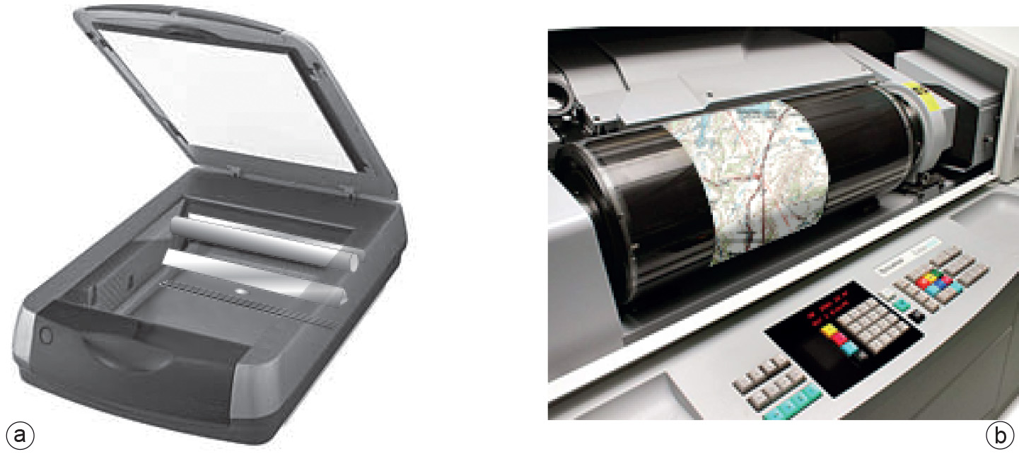
A scanned image of the original map is needed for on-screen manual digitizing and semi-automatic/automatic digitizing. A range of scanners are available for obtaining a scanned image, starting from a small-format (

Explanation
A scanner illuminates a document and measures the intensity of the reflected light with a
Semi-automatic/automatic digitizing requires a resolution that results in scanned lines of several pixels wide to enable the computer to trace the centre of the lines and thus avoid displacements. For printed maps, a resolution of 300–600 dpi is usually sufficient. Automatic or semi-automatic tracing from aerial photographs can only be done in a limited number of cases. Usually the information from aerial photos is obtained through visual interpretation.
After scanning, the resulting image can be improved by various image processing techniques. It is important to understand that scanning does not result in a structured data set of classified and coded objects. Additional work is required to recognize features and to associate categories and other thematic attributes with them.
Learning outcomes
-
9 - Data entry: data input techniques
Describe and explain standard spatial (and non-spatial) data input techniques (non RS) including the management of the data collection process (level 1 and 2).
Prior knowledge
Outgoing relations
- Scanning is a kind of Spatial data acquisition
- Scanning is used by Digitizing